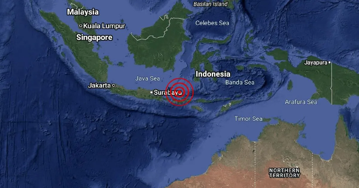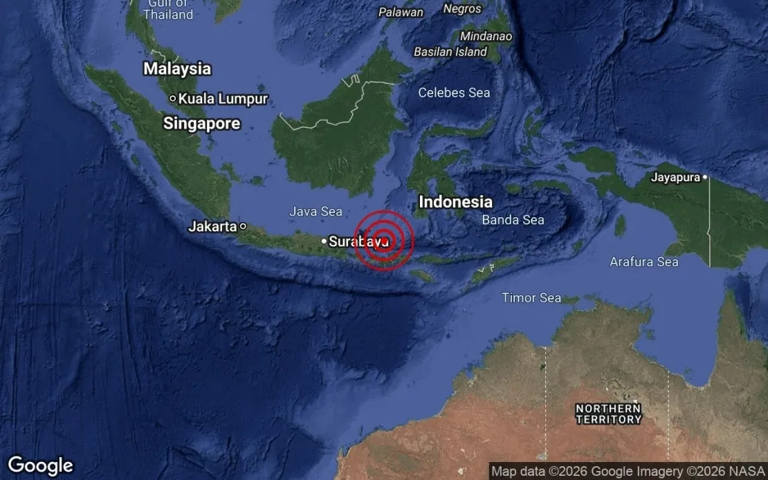
A moderate earthquake registering magnitude 5.2 struck the Bali Sea, Indonesia, at 2:10 a.m. local time on August 18, 2026 [1, 2, 3].
The epicenter was pinpointed at 7.2° south latitude and 117.2° east longitude, approximately 194 kilometers northeast of Mataram, Indonesia [1, 2, 3]. The quake occurred at a depth of 499 kilometers beneath the sea floor [1, 2, 3].
The significant depth likely lessened surface impact, and there have been no immediate reports of damage or casualties. The Malaysian Meteorological Department (MetMalaysia) confirmed there was no tsunami threat to Malaysia following the earthquake [3].
Seismologists continue to monitor seismic activity in the region, which lies along the complex tectonic boundaries of the Indonesian archipelago known for frequent earthquakes.
Emergency services in nearby areas remain on alert, but the deep focus of this quake reduces the likelihood of strong shaking at ground level.
Authorities will provide updates if further developments arise.
Local observers and monitoring stations are expected to issue additional reports as data is collected later today.